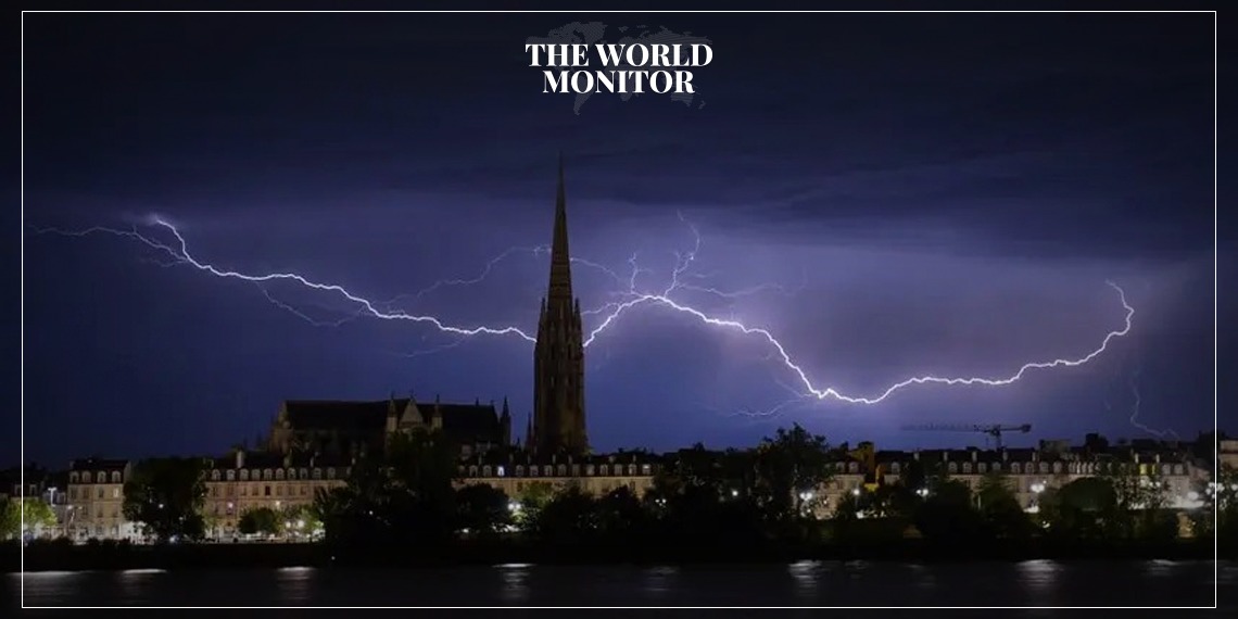
Meteo France has announced storm warnings for 33 regions because of severe storms predicted from Sunday night to Monday afternoon.
The departments with heightened (orange) alerts are mainly in the southwest, Normandy, and around Paris. The storm system is expected to progress eastward the next day.
In situations of extreme weather alerts, the government can dispatch emergency text messages.
Expected storm features include wind gusts over 100km/h, heavy rain showers with up to 50mm in some spots, and significant lightning activity.
Meteo France explained that the major storm system would span from the South West to Normandy, noting intensified activity in the southern portion and in Normandy.
A tornado was reported in Mayenne on Sunday night when the storm system approached Normandy. There’s a potential for flooding in areas like Seine-Maritime, Eure, and Calvados.
While 33 departments are on high alert, Meteo France has urged much of the country, including Brittany, to stay cautious. Affected regions will expand east on Monday.
The areas on high alert for Monday include all of Ile-de-France, Seine-Maritime and Eure in Normandy, Val d’Oise in Hauts-de-France, and Ardèche and Drôme in Auvergne-Rhône-Alpes.
By Monday, many of these regions will no longer be on high alert, but a yellow alert will still be in place for most. Flood risks exist in Seine-Maritime, Eure, Ardèche, and Drôme.
Though storms are typical in France during this period, the current temperatures, which are four degrees above average, have intensified the situation according to Meteo France. A separate orange alert for storms and flooding was issued on September 16 for Hérault and Gard.


